
Return of snow for the weekend
Author: Press Office
16:46 (UTC) on Fri 16 Mar 2018
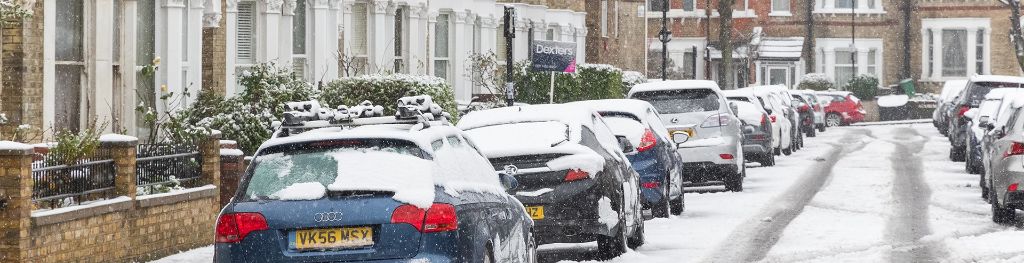
There's a temporary return to much colder weather and snow over the weekend.
A number of Yellow and Amber National Severe Weather Warnings have been issued for the weekend featuring: snow; snow and ice; and wind. There is a risk that the snow could be disruptive in some areas.
The air bringing this cold spell is once again coming from Scandinavia and brings bitter easterly winds across the UK resulting in not only very low temperatures but also a significant wind chill risk throughout the weekend, making it feel several degrees colder than thermometers show.
Through Saturday and Sunday, these strong winds will bring plenty of snow showers westwards across England and Wales, as well as into some eastern parts of Scotland and southern parts of Northern Ireland.
Met Office Chief Meteorologist Frank Saunders, said: “Although bitterly cold, there will be sunny spells for many on Saturday, as well as snow showers. Some of the showers will be heavy and it will feel cold with temperatures only reaching 0 °C to 3 °C widely.
“The heaviest snow is expected overnight Saturday into Sunday with around 5 – 10cms of snow within the warning areas, possibly more over high ground. Icy patches are a risk on untreated roads, pavements and cycle paths. It will stay bitterly cold and windy throughout Sunday with more sunshine and snow showers. The snow could be disruptive in places, perhaps most likely in the southwest of England and southeast Wales.”
Snow and winds ease by Monday, though overnight frost and some ice will occur.
Richard Leonard, Highways England Head of Road Safety, said: “Gritters will be out treating our roads around the clock, but it is still important to drive to the conditions when snow is forecast.
“Keep your distance and reduce your speed, because even in conditions that seem normal, and where the snow is not settling, it can be slippery if ice patches have formed, or where fresh grit has not been worked into the carriageway.
“Drivers should plan their journeys, monitor weather reports and pack a snow kit of blankets, food, water and a shovel.”
The weekend will also be windy for much of the UK with gales likely in places. With the wind coming from the east, wind chill will be factor for many, making it feel even colder.
Public Health England have issued a Level 3 Cold weather alert for the coming weekend. Dr Thomas Waite, a Consultant in Health Protection at Public Health England, said: “The weather has felt much milder for the last week or so, but this weekend it will get much colder again. And that may come as a shock to the system for some whose bodies may struggle to cope in cold weather.
“It’s worth remembering that cold temperatures – indoors and outdoors - can affect health, particularly in young children, older people and those with heart and lung conditions. So if you know someone in any of these groups, please keep an eye on them over the coming days make sure they’re heating their homes to at least 18 °C and keeping an eye on the weather forecast.”
Not everyone will see snow over the weekend, and the brightest and driest weather is expected in western Scotland. Longer daylight hours, stronger mid-March sunshine and a lack of pre-existing snow cover mean the impacts of this snowy spell will generally be less than the cold spell spanning late February and early March.
Looking ahead the weather will remain cold for Monday, but the risk of snow diminishes. As we head further into the week we begin to see a return to conditions more typical for mid-March.
You can find out the current forecast in your area using our forecast pages and by following us on Twitter and Facebook, as well as using our mobile app which is available for iPhone from the App store and for Android from the Google Play store.