

Storm Georgina brings strong winds to the UK and Ireland
Author: Press Office
11:33 (UTC) on Wed 24 Jan 2018
Storm Georgina, the seventh named storm of the year, is crossing the UK and bringing strong winds to many parts of the country.
The low pressure system will continue to move eastwards across northern Scotland through the day before moving out into the North Sea later this afternoon. Gusts up to 85mph have been recorded in western Scotland and wind speeds are expected to continue to increase through the day on the east coast of Scotland. Further south a narrow band of heavy rain and squally winds has also resulted in gusts in the 50 to 60 mph range, with reports of fallen trees in some counties.
Chief Meteorologist Frank Saunders said: “Storm Georgina has developed rapidly over the last 24 hours and is bringing strong winds to the UK, especially in the north. Our national severe weather warning for wind is in force through the day today and we encourage people to keep up to date with the forecast in their area. It will also be a windy day outside of the warning area with a spell of gusty winds moving across other parts of the UK.”
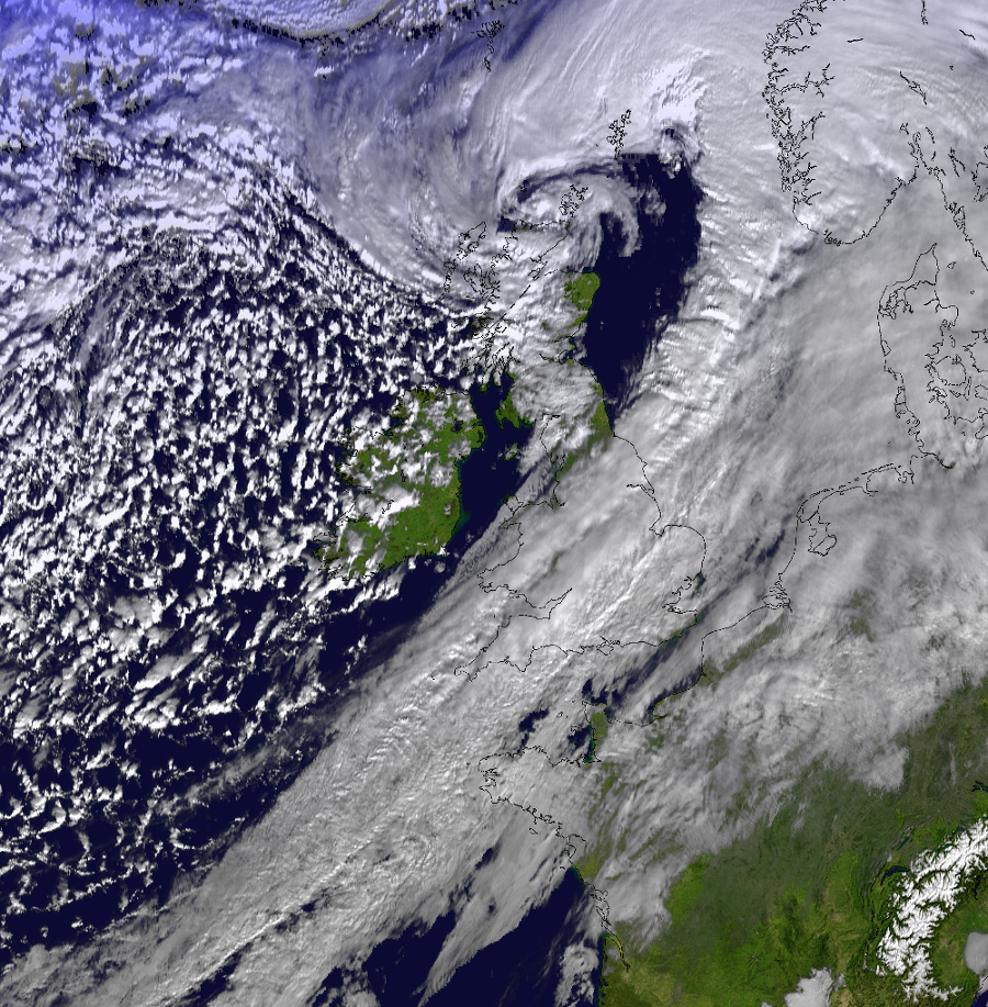
Early analysis shows that a sting jet could have formed over the sea west of the Western Isles in the early hours of Wednesday morning. Sting jets can cause very high wind speeds in a concentrated area and occur when air rapidly descends from high in the atmosphere. Sting jets have been observed in past storms including Storm Doris February 2017 and the 1987 Great Storm.
Keep up to date with the latest forecast and warnings for your area on our website or via the Met Office mobile app which is available for iPhone from the App store and for Android from the Google Play store.