Forecasting the weather
Our Expert Weather Hub is staffed 24/7, 365 days a year.
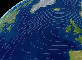
As the UK’s national weather service, the Met Office is able to put weather forecasts into wider context. Not only do we have a record of observations, but we also forecast the weather for today, tomorrow and beyond, including considering uncertainties and upcoming changes to weather types.
How do meteorologists use the weather models?
Weather models are produced by powerful supercomputers, but the human element of forecasting allows meteorologists to look at the forecast produced by computer models and compare it to the observations coming in. Our meteorologists – and we have well over 300 - use their scientific knowledge of how the atmosphere works, in conjunction with experience from previous weather events, to ‘intervene in’ or tweak the forecast.
How are National Severe Weather Warnings issued?
The Met Office is responsible for issuing weather warnings, which warn of the potential impacts that could be caused by severe weather. We provide warnings up to seven days ahead for rain, thunderstorms, wind, snow, lightning, ice, extreme heat and fog. These warnings are given a colour (yellow, amber or red) depending on a combination of the impact the weather may have and the likelihood of those impacts occurring.
The on-shift Chief Meteorologist, in consultation with their team of meteorologists and other experts, will decide when and where to issue severe weather warnings. They take into account expertise from colleagues and partners around the UK who have knowledge of local conditions and likely impacts.
Who uses our forecasts and warnings?
Colleagues across the Met Office use forecasts to develop content for the public such as our presented forecasts, and they are also used by broadcasters and a wide range of customers including the government, the military and industry. You can read more about some of the organisations using Met Office data and model output on our Powered by the Met Office webpage.