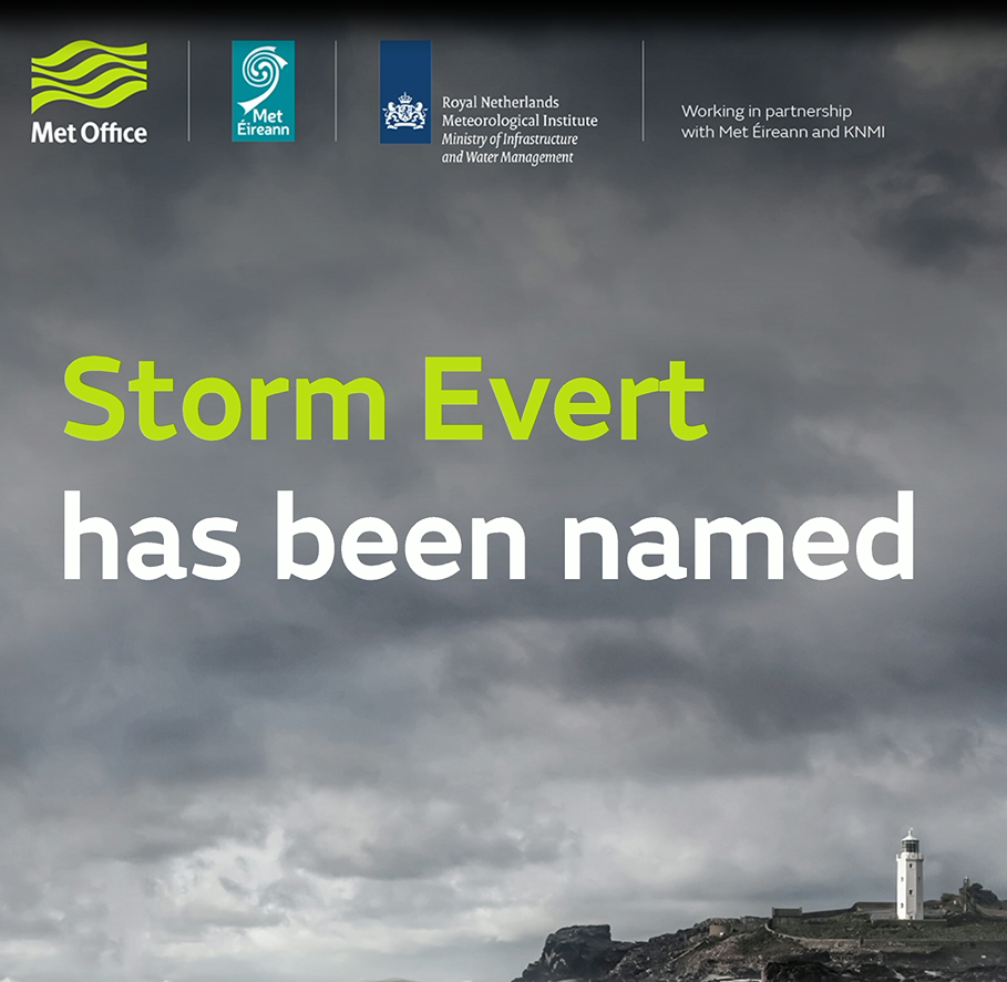
Storm Evert named
Author: Press Office
11:47 (UTC+1) on Thu 29 Jul 2021
The Met Office has named Storm Evert as coastal gales and rain impact southwestern UK.
High winds then spread into other coastal counties in England during Thursday night and Friday morning, before easing from the west later on Friday.
The storm name comes as an amber wind warning has been issued for much of Cornwall, as well as the Isles of Scilly, with yellow warnings remaining in place for the wider southwest, southern Wales and along the southern coast of England.
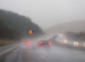
The low pressure system, which will now be called Storm Evert, is moving in from the west on Thursday evening. The highest winds are expected to be over parts of Cornwall during the early hours of Friday, when gusts could reach as high as 75mph in the most exposed areas. Other coastal areas in southern parts of England and Wales will also see high gusts, mainly between 40 and 60mph, and this brings with it the chance for some travel disruption and damage to temporary structures.
The high winds will be accompanied by some rain at times. The wettest weather on Thursday night will be over parts of Wales and southwest England, with the heaviest rain then moving eastwards on Friday as parts of eastern, southern and central England then get the wettest weather, including a risk of thunderstorms in a few places during the afternoon.
Met Office Principal Operational Meteorologist Dan Suri said, “Storm Evert will bring some high winds, particularly along the northern coast of the southwest, but there will be gusty winds more widely in southern areas, which brings the potential for some impacts, especially for those that might be travelling or camping in the weather.
“Storm Evert will move eastwards across southern UK during Friday daytime, clearing into the North Sea during Friday evening. As well as the high winds, there will also be some heavy rain before it leaves our shores, with up to 40 mm possible over parts of Wales and the southwest and the potential for 40 or 50 mm rain in a short period of time from heavy, possibly thundery, showers over parts of eastern and central England on Friday afternoon.”
⚠️⚠️ Amber weather warning issued ⚠️⚠️
— Met Office (@metoffice) July 29, 2021
Very strong winds across Cornwall and the Isles of Scilly
Thursday 2100 – Friday 0700
Latest info 👉 https://t.co/QwDLMfRBfs
Stay #WeatherAware⚠️ pic.twitter.com/CTsRGHpnND
RAC Breakdown spokesman Rod Dennis said: “The arrival of a summer storm to the South West could take drivers – and indeed all holidaymakers in the region – by surprise. The sheer strength of the wind coupled with huge volumes of traffic will make driving conditions hazardous, particularly for those towing caravans and trailers.
“We strongly recommend drivers check over their vehicles before setting out – ensuring roofboxes are firmly secured – and try to avoid exposed coastal and moorland routes where the impacts of the wind on driving will be the greatest. Drivers should reduce their speeds accordingly to help ensure they complete their journeys safely.”
Storm Evert is the first storm to be named in July by the Met Office’s storm naming group with Met Éireann and KNMI. However, named summer storms aren’t unprecedented and two were named in August 2020, when Storm Ellen (19-20 August 2020) and Storm Francis (25 August 2020) moved into UK shores.
Following Storm Evert, unsettled conditions are set to return for much of the weekend, with some persistent rain in southeastern Scotland and northeast England at first with a continued risk of some thundery downpours in southern and central England, which become confined to the far south by Sunday. Some bright spells are likely in between.
Storm Naming
Storms are named in association with Met Éireann and KNMI. Other European countries to name impactful storms include France, Spain and Portugal in south-west Europe and Sweden, Norway and Denmark in northern Europe. To find out more about Name our Storms you can visit the Met Office Storm Centre page.
Find out more about camping in wet and windy weather.
Keep up to date with the latest forecast for your area using our forecast pages and by following us on Twitter and Facebook, as well as using our mobile app which is available for iPhone from the App store and for Android from the Google Play store.