
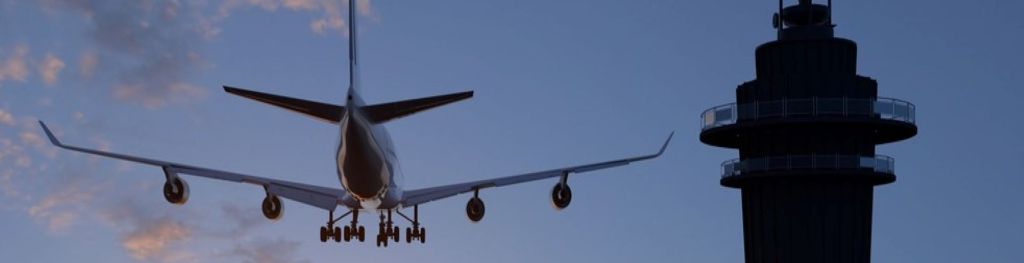
SESAR 3D Radar and Harmonised Turbulence Services
SESAR 3D Radar and Harmonised Turbulence Services
Navigation links
- SESAR Deployment Projects
- Met Office SESAR services
- Accessing the data
- Operational use
- Guidance and additional information
- Contact details and stay updated
SESAR (Single European Sky ATM Research) Deployment Projects
The Met Office has worked with partners across Europe on three SESAR Deployment projects which provide aviation stakeholders with new tools to make dynamic decisions based on the prevailing weather conditions for all stages of a flight.
Purpose of the projects:
The SESAR European Harmonised Forecast of Adverse weather (IP68) and European Weather Radar Composite of Convection Information (IP67) provide a common aviation weather reference wherever you are in Europe, so that more optimal flight planning decisions can be made to avoid disruption and delays for passengers and cargo. Through a better understanding of where potentially hazardous weather conditions will occur en-route, airlines and Air Traffic Control can reduce the number of reactive diversions which cause additional fuel burn resulting in increased CO2 emissions and costs.
The Harmonised Forecasts of Adverse Weather services take the individual forecasts from participating National Met Services and blends them to produce a common reference for aviation weather hazards across Europe.
The Met Office has delivered a 3D composite of weather radar over Europe which preserves height information to give a greater understanding of the development and intensity of convective storms.
Visit the SESAR Deployment Manager website for more information about the work that SESAR does.
Met Office SESAR Services
Following the completion of the above projects, the Met Office will soon offer two fully supported operational services for aeronautical users.
-
3D Radar
-
Harmonised Turbulence
The 3D RADAR service is available in two formats, HDF5 or GRIB2 and two resolutions; one covering the UK-Ireland FAB and FABEC (in higher resolution), the other covering a wider European domain (in lower resolution). A range of parameters will be available from the data-sets to enable users to identify depth and intensity of convective storms, assess their development and the potential for hail.
The input radar data of this service has been provided via OPERA, the Radar Programme of EUMETNET, and has been processed and made available by the Met Office and Météo-France.
Please read the SWIM Registry Service Description for full details about this service, 3D RADAR Service (HDF5) or 3D Radar Service (GRIB2).
The Harmonised Turbulence Service delivers a blend of turbulence data from the Met Office, Météo-France and Deutscher Wetterdienst (DWD) to produce a harmonised, pan-European view of forecast turbulence. Plus, the additional option of a polygon features service marking regions of low, moderate and severe intensity levels.
| Output Units |
Turbulence intensity scale (0, 1, 2, 3 for nil, light, moderate, severe) |
| Coverage Domain | 29.5°N- 70.5°N; 23.5°W – 62.5°E |
| Horizontal resolution | 0.0625° x 0.0625° |
| Vertical resolution | 9 Flight levels approximately FL230 to FL450 |
| Issue frequency | Four times daily, every 6 hours |
| Timesteps within forecast | Hourly to T+24Hr, then 3 hourly to T+48hr |
| Output format | GRIB2 (Gridded data), XML (Vector data) |
Please read the SWIM Registry Service Description, SESAR Pan-European Harmonised Turbulence Service, for full details about these services.
Accessing the Data
The Services are accessed using an API and are searchable on EUROCONTROL’s SWIM (System-Wide Information Management) registry SWIM registry.
They are ICAO SWIM compliant, following SWIM Yellow profile to enable interoperability with other aviation systems and cloud hosted, to enable the system to scale according to the demands placed upon it.
Operational Use
The Harmonised Turbulence and 3D RADAR services are intended for use by aeronautical organisations for aviation purposes. Please check the following list to ensure your organisation’s eligibility to use these services:
• Airlines
• Air Traffic Control
• Airport Management
• Flight Crew
• Search and Rescue Services
• Handling Agencies
• Flight planning companies
• EUROCONTROL Network Manager
• MET Air Navigation Service Providers
In addition, the services can also be accessed by National Meteorological and Hydrological Services (NMHS) (for Official Duty Purposes only).
If you are unsure whether your organisation is eligible for access to these services, please see our FAQs section for further information, or contact [email protected] for further assistance.
Guidance and additional information
The following documents provide guidelines for using the data and more information about the different projects:
- Met Office SESAR Services User Guide
- Statement of Operational Use
- Frequently asked questions
- The SWAGGER Definition which specifies the format of the API requests
- Turbulence Polygons Guidance
- Map domains of turbulence forecast subsets
- Met Office SESAR projects - detailed overview (PDF)
Contact details and stay updated
If you would like to speak to a member of the Met Office team about the SESAR services or projects please contact [email protected]
You can stay up-to-date with what is happening across our aviation services, including projects like SESAR, by following our Met Office Aviation Services LinkedIn page.
Get in touch
Call us
We are available 24/7.
0370 900 0100Email us
Fill out this short form and we'll get back to you.
Contact Us formFollow us
Linkedin XGet in touch
Call us
We are available 24/7.
0370 900 0100Email us
Fill out this short form and we'll get back to you.
Contact Us form