Tropical cyclone forecasting
Forecasting of tropical cyclones has improved greatly in recent years.
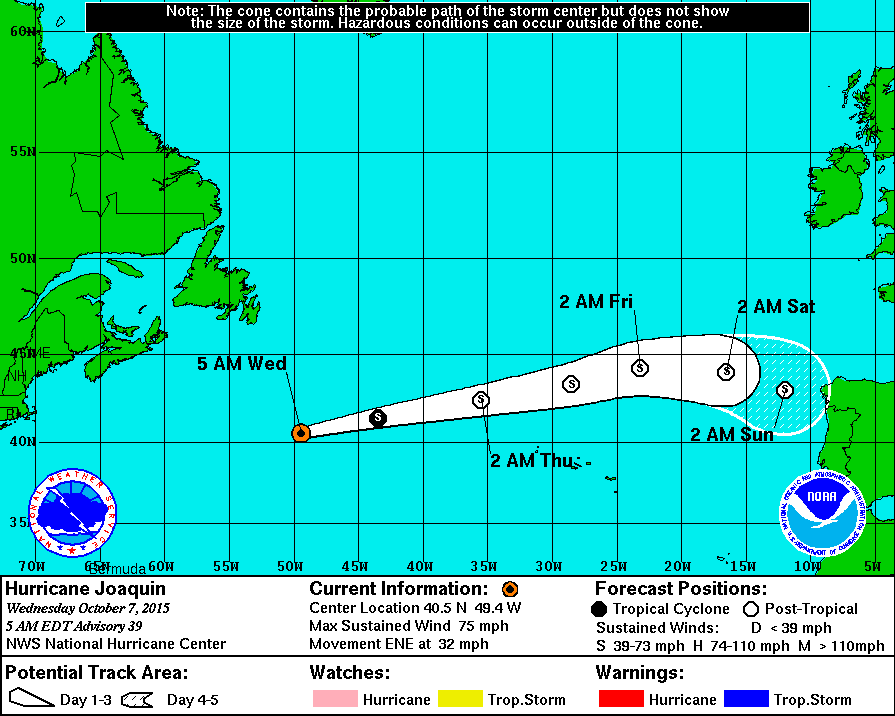
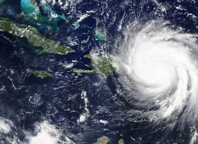
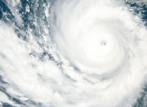
There are certain areas over the oceans that are particularly favourable for tropical cyclone development, but it is usually certain characteristics in a cluster of thunderclouds that leads forecasters to recognise them as tropical depressions. This is done by people at specialist tropical cyclone forecasting centres around the globe such as the National Hurricane Center in Miami, Florida who are constantly studying satellite images, instruments and other weather data to detect and track them through their life-cycle. Once detected, their track is forecast using a combination of numerical forecasting models, synoptic forecasting and statistical methods, which have been developed from the study of the behaviour of past storms.
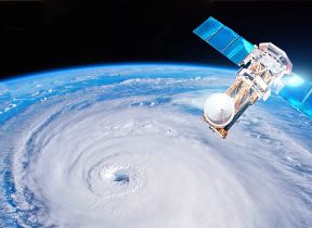
Observations from ships at sea are always very useful, although, once the existence of a storm and its forecast track have been broadcast, ships tend to move out of their way! Reinforced aircraft, fitted with instruments, fly through and over tropical cyclones, and weather radar can locate storms within 200 miles of the radar station. In addition, tropical cyclones are tracked by satellites, which provide very useful information both to forecasters and numerical forecast models.
"Official" responsibility for forecasting tropical cyclones in the areas affected lies with the regional centres such as the National Hurricane Center in Miami. However, the Met Office does produce tropical cyclone forecasts from its global model, which are disseminated to the regional centres. They then use these forecasts, along with other forms of guidance, to produce their forecasts. Met Office forecasts of tropical cyclones show considerable skill and are among the best models available to agencies such as the National Hurricane Center.