Cold conditions sweep across UK
Author: Press Office
12:40 (UTC) on Wed 29 Nov 2023
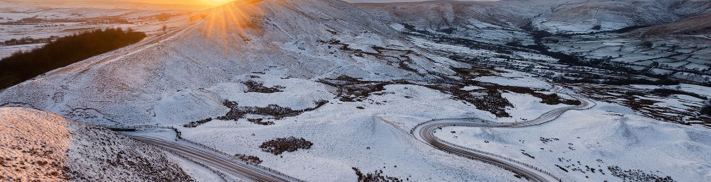
There will be widespread overnight frosts for much of the UK in the coming days and a risk of snow for some regions.
Much colder conditions are expected to affect the UK for the rest of this week and into the weekend, with daytime temperatures rooted in single figures and overnight temperatures falling well below freezing in many places.
With the UK sitting in cold air from Scandinavia the weather is turning much colder for the rest of this week and the start of next with daytime temperatures struggling to get above single figures and overnight temperatures staying below freezing for much of the country.
⚠️ Yellow weather warning issued ⚠️
— Met Office (@metoffice) November 29, 2023
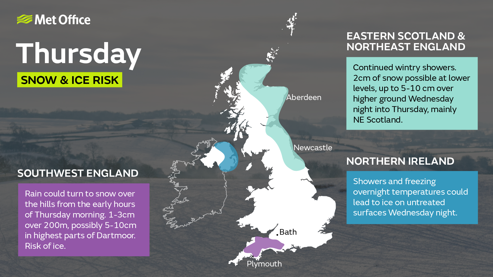
Snow and ice across parts of southwest England
Thursday 0300 – 1600
Latest info 👉 https://t.co/QwDLMfRBfs
Stay #WeatherAware⚠️ pic.twitter.com/rYWgghIPyW
Met Office Chief Meteorologist, Neil Armstrong, said: “We’ve already seen snow settling in parts of eastern Scotland and northeastern England. As the cold air continues to spread across the UK we also expect to see some snow over the high ground of southwest England overnight tonight and through tomorrow.
“Snow showers will continue along the North Sea coast with a northeasterly air flow, leading to further accumulations over higher ground. Where the showers fall as rain there is a risk of icy patches forming overnight with temperatures widely dipping below freezing. A number of National Severe Weather Warnings have been issued and these are likely to be updated through the week so stay up to date with the forecast for your area.”
Remaining cold next week
The cold regime looks likely to continue into next week, with a good deal of dry sunny weather for many. However, showers remain possible, particularly in eastern coastal areas, and these could be wintry at times.
The UKHSA has issued yellow and amber cold-health alerts for the health sector covering northern regions of England through until the 5th December.
Prepare for the cold
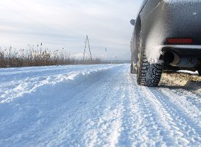
RAC Breakdown spokesman Rod Dennis said: "We expect to see a sharp rise in breakdowns this week as cold weather is the nemesis of older car batteries. It exposes any weaknesses in battery health and leads to a huge jump in the number of cars that won't start.
"We urge every driver who has noticed their car is sluggish to start to get it checked by a reputable mobile mechanic or garage as soon as possible. Anyone who doesn't, risks their car letting them down just at the very moment they need it, whether they're heading to work or on the way to an important appointment.
"We also strongly recommend drivers pack some winter gear should their cars let them down and they find themselves stuck in sub-zero temperatures. Extra warm clothes, food and drink, plus a fully charged phone powerbank are all a must."
Snowfall in late autumn or early winter doesn’t generally linger because ground temperatures broadly remain relatively high, especially compared with values in late winter, after the ground loses more of its warmth.
You can keep up to date with the latest forecast on our website, by following us on Twitter and Facebook, as well as on our mobile app which is available for iPhone from the App store and for Android from the Google Play store.