
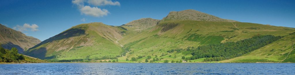
Mountain weather
Lake District Mountain weather forecast table
Confidence
High for relatively settled for Saturday, then very wet and windy for Sunday, but lowering for the detail of worst of later conditions.
Mountain weather hazards
Hazards apply at or above 300m, reflecting the more severe conditions which can occur at altitude.
 Severe Chill Effect
Wind significantly lowers the ‘feels-like’ temperature relative to the actual temperature, with even moderate winds significantly adding to the chilling effect. Strong winds can result in a severe and debilitating wind chill many degrees below the actual temperature. This effect will be enhanced in rain or wet snow. Without protection, prolonged exposure could result in frost nip or frostbite on exposed parts of the body and/or hypothermia.
Poor Visibility
Poor visibility presents challenging route finding conditions. Visibility could be significantly less than 50 metres in all directions with few or no visual references, especially on featureless moors or plateaux. Distances become hard to judge and cliff or cornice edges can be difficult to recognise. These conditions require good navigational skills. There is a risk of white-out conditions when mist or fog is combined with extensive snow cover.
Mountain weather forecast
Largely dry with some brighter spells. Fresh to strong southwest summit winds.
| 06:00 | 09:00 | 12:00 | 15:00 | 18:00 | 21:00 | |
|---|---|---|---|---|---|---|
Weather (at 800m) |
|
|
|
|
|
|
Chance of precipitation (at 800m) |
10% | 10% | 10% | 10% | 10% | 10% |
Wind direction and speed (mph)
Altitude above mean sea level
| 06:00 | 09:00 | 12:00 | 15:00 | 18:00 | 21:00 | |
|---|---|---|---|---|---|---|
| 900m |
SW
32
|
SW
31
|
SW
25
|
SW
24
|
SW
23
|
SW
23
|
| 600m |
SW
30
|
SW
28
|
SW
22
|
SW
21
|
SW
17
|
SW
16
|
| 300m |
SW
11
|
SW
11
|
SW
10
|
SW
9
|
SW
7
|
SW
6
|
| Valley |
SW
9
|
SW
10
|
SW
9
|
SW
9
|
SW
5
|
SW
5
|
Wind gust (mph)
Altitude above mean sea level
| 06:00 | 09:00 | 12:00 | 15:00 | 18:00 | 21:00 | |
|---|---|---|---|---|---|---|
| 900m | 38 | 37 | 32 | 31 | 29 | 28 |
| 600m | 38 | 36 | 29 | 27 | 23 | 21 |
| 300m | 27 | 27 | 24 | 23 | 20 | 18 |
| Valley | 24 | 24 | 21 | 20 | 15 | 15 |
Altitude above mean sea level
| 06:00 | 09:00 | 12:00 | 15:00 | 18:00 | 21:00 | |
|---|---|---|---|---|---|---|
| 900m |
4°
|
3°
|
2°
|
2°
|
2°
|
2°
|
| 600m |
5°
|
5°
|
4°
|
4°
|
4°
|
3°
|
| 300m |
6°
|
6°
|
7°
|
7°
|
6°
|
5°
|
| Valley |
8°
|
8°
|
9°
|
9°
|
7°
|
7°
|
| Freezing Level |
1,300m
|
1,200m
|
1,100m
|
1,100m
|
1,100m
|
1,200m
|
Altitude above mean sea level
| 06:00 | 09:00 | 12:00 | 15:00 | 18:00 | 21:00 | |
|---|---|---|---|---|---|---|
| 900m |
-3°
|
-4°
|
-4°
|
-4°
|
-4°
|
-4°
|
| 600m |
-1°
|
-1°
|
-1°
|
-1°
|
-1°
|
-2°
|
| 300m |
3°
|
3°
|
4°
|
4°
|
3°
|
3°
|
| Valley |
5°
|
5°
|
6°
|
6°
|
6°
|
6°
|
Additional weather information
Meteorologist's view
Severe wind chill effect confined to higher tops.
Weather
The vast majority will stay dry with some brighter spells developing, most of these expected for the afternoon. However cloud may thicken enough to bring the odd light shower.
Chance of cloud-free hill tops
60-70% becoming 90% for the afternoon
Low cloud and visibility
Good or very good visibility becoming moderate or poor in showers, very poor within cloud with bases occasionally lowering 600-800m for the morning, infrequently so for the afternoon.
Ground conditions
Date: Friday 21 February 2025 Location: Helvellyn summit at 09:10 Full report: Stormy, wet and wild summarise todays round of Helvellyn! Its was a solitary day and not surprising to see the mountain deserted in such weather conditions. The gusts at summit level were in excess of 89.6mph and safe mobility was very restricted and required a lot of confidence. The wind direction is Southerly and this does also push you towards the exposed NE edge of the plateau which requires a safe distance to be considered. Whist the temperatures are relatively high, the overall conditions are extremely harsh with fierce gusts and driving rain, coupled with a wind-chill of -2.1, and these make for some of the most uncomfortable conditions to be out in and certainly require full winter clothing and waterproofs as well as other safety equipment. For many routes, unless steep snow is being actively sought out, micro-spikes will now be sufficient and I'd continue to recommend carrying an axe for stability on the isolated areas of snow and lying ice. The snow cover is retreating rapidly currently but hollows up high, gully heads and the Helvellyn headwall for example, are still holding snow. Swirral edge is almost passable without having to commit to snow now though isolated patches are still present. Tomorrow the weather looks a bit better but still unsettled, Sunday again looks quite stormy! Take care if out, and keep plans flexible. Temperature: plus 7.0 C, Maximum wind speed 89.6 mph, Wind chill: minus 2.1 C, Average wind speed: 54.9 mph
Mountain weather information
Weather
Cloud soon building from the west to bring periods of rain from mid-morning, which turns heavy at times through the day. Rain clearing to scattered showers during the evening. Conditions hazardous by day with the combination of summit severe to storm force winds and extensive hill fog.
Chance of cloud-free hill tops
25% becoming less than 10% from mid-morning
Maximum wind speed expected
South increasing to mean 50mph from late morning, with gusts reaching 65-75mph across most exposed ridges and summits
Temperature
- At 800m Plus 2 Celsius increasing 5 Celsius for the afternoon
- Valley Plus 3 Celsius increasing 11 Celsius for the afternoon
- Freezing level Above summits
Low cloud and visibility
Moderate or poor in rain, very poor within cloud with bases extensive from 500m from mid-morning.
Mountain weather information
Mon 24 Feb
Sunrise:
Sunset:
Sunshine and scattered showers. Fresh to strong southwest summit winds. Freezing level above all peaks.
Tue 25 Feb
Sunrise:
Sunset:
Brighter spells and showers, some turning heavy and across highest peaks wintry. Moderate to fresh southwest summit winds. Freezing level above all peaks.
Wed 26 Feb
Sunrise:
Sunset:
Dry, bright start. Periods of occasionally heavy rain developing later. Moderate westerly summit winds. Freezing level 800m rising above all peaks.
Updated at:
Summit specific forecast
Mountain summit forecast map
Loading map…
Key
The Lake District covers an area of 885 square miles with its highest point, Scafell Pike, standing at 978 metres.